Overview
- Caption
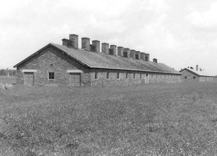
- Bandengebiete Mitte Mai 1943.
- Date
-
1943
- Photo Credit
- United States Holocaust Memorial Museum, courtesy of National Archives and Records Administration, College Park
- Event History
- These partisan warfare maps are part of a collection of 36 maps from the National Archives and Records Administration RG 242. Annotations to the maps represent the monitoring of the partisan movement in Eastern Europe and measures taken to suppress it by the German military, SS and police. Geographic areas covered in the collection include Russia, Latvia, Yugoslavia and Belarus. The maps range in date from 1941 to 1944, with the majority dating from 1942.
https://www.ushmm.org/wlc/en/article.php?ModuleId=10005441.
Rights & Restrictions
- Photo Source
-
United States Holocaust Memorial Museum
Copyright: United States Holocaust Memorial MuseumProvenance: National Archives and Records Administration, College ParkSource Record ID: Collections: RG-30.004Second Record ID: 242
Keywords & Subjects
- Photo Designation
-
RESISTANCE & PARTISANS -- Poland/USSR -- Soviet Resistance
- Record last modified:
- 2002-12-10 00:00:00
- This page:
- https://collections.ushmm.org/search/catalog/pa1142724


